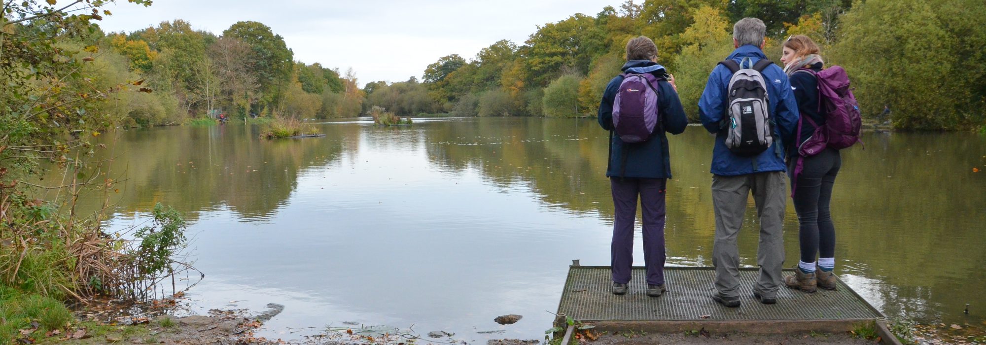
Community Modelling: empowering communities to protect rivers
Thames21’s Community Modelling projects empower communities to protect their local rivers. Using specialist modelling software, usually only used by experts, we help people increase their awareness of pollution and flooding issues and invite them to shape future river plans. Through our projects, volunteers are discovering how nature-based solutions such as wetlands and SuDS (Sustainable Urban Drainage Systems) can reduce pollution and flooding risk, as well as how to influence local planning decisions.
Poor water quality and pollution

The UK has failed to comply with EU legislation to tackle the poor health of its rivers, with just 17 % reaching ‘good’ ecological status. The majority of London’s rivers are polluted, with only one stretch of the river Wandle achieving this status.
Our Community Modelling Water Quality project has given London communities access to water quality software developed by Oxford University, and helped them identify possible spaces where wetlands or SuDS can filter and purify pollutants before they reach the river.
Trialled in the London boroughs of Enfield and Waltham Forest, communities have identified 34 sites suitable for new constructed wetlands and SuDS, with the potential to clean three heavily polluted rivers. Modelling shows that two of these rivers would achieve good ecological status if green infrastucture was installed, a huge step forward for London.
Rewilding the Pymmes Brook and Salmons Brook in Enfield: the Pymmes BrookERS Group
Rewilding the River Ching in Waltham Forest: the Chingbrook Action Group
Read the Community Modelling Report for more information about this project:
Community Modelling Report Water Quality_
Flooding

Both total rainfall and intense rainfall events are expected to increase in the next few years due to climate change. Winters are becoming warmer and wetter, with more extreme rainfall events during the summer in London. 1.25 million people live and work in areas of tidal and fluvial flood risk. Another 165,000 people are at medium risk of flooding from rainfall.1
Inspired by the pressing need to reduce flood risk and increase resilience, Thames21 is building on the work undertaken by the Community Modelling Water Quality Project to tackle flood risk. Working with the same community groups, we are providing them with training and access to flood modelling software, increasing their awareness of the issue of surface flooding and of the way that appropriately sited wetlands and SuDS can soak up much of this excess water.
1 https://www.london.gov.uk/city-hall-blog/putting-flooding-map-ldn-flood-week-2017