New wetlands proposed to transform river health in North London
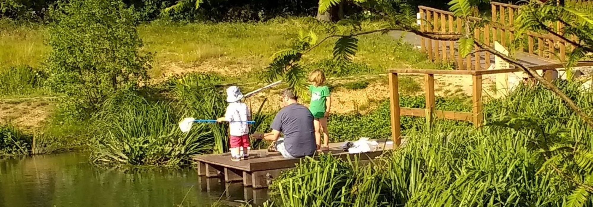
Thirty four sites suitable for new constructed wetlands and SuDS (Sustainable Urban Drainage Systems) have been identified by communities in north London, with the potential to help clean three heavily polluted rivers.
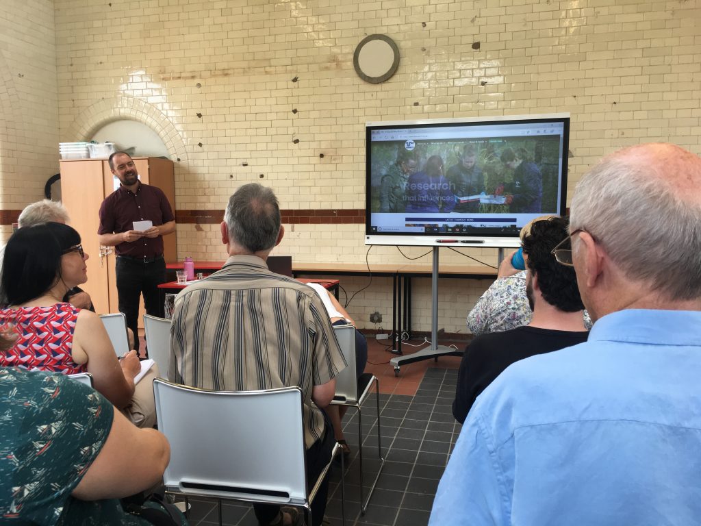
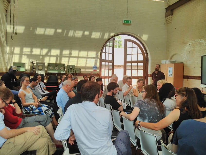
Presenting their findings to a packed conference at Walthamstow Wetlands attended by local authorities, environmentalists and corporate groups, Enfield and Waltham Forest residents made the case that these new wetlands would reduce persistent pollution in three North London rivers, as well as provide new high-quality green space for local people, potentially reduce flooding and boost community cohesion.

Rivers in London and other urban centres are impacted by several pollution streams: raw sewage and other pollutants from misconnected plumbing, and diesel and sediment from road and field, termed ‘surface run off’. This results in dangerously high levels of nutrients such as nitrogen and phosphate. Wetlands and SuDS, when sited appropriately, can help trap and filter these pollutants.
Using environmental modelling software normally reserved for experts, residents were able to show the audience that installing these wetland sites would transform the health of three tributaries feeding the river Lea, often described as one of the most polluted rivers in the UK.
Through a citizen science project being trialled between Oxford University and Thames21, north London residents have been given access to specialist software developed by Oxford University in order to model how new wetlands would impact on north London rivers by filtering and trapping pollution.
“It was a jaw dropping moment when we realised what an opportunity we were being offered as members of the community,” said Alison Archer, a member of the Pymmes BrookERS community group. “We couldn’t believe it: as citizens we often feel so powerless but here we’re being given the opportunity to remodel our local river and directly improve our environment.”
The modelling software showed that if the wetlands were installed, two rivers (the Ching and Pymmes Brook)would achieve good ecological status, as measured by the Water Framework Directive* and the Salmon’s Brook river’s health would also be improved.

Over the past nine months of the project residents in Enfield and Waltham Forest used mapping software and joined organised walks to get to know the Ching, Pymmes and Salmon Brooks. Residents suggested sites for potential SuDS, trees or wetlands, and were then assisted to use INCA software to measure what the impact of these potential solutions would be on nitrate, phosphate and ammonium at a local and catchment scale.
The project has been supported by the Greater London Authority, Waltham Forest Council and Thames River Trust.
“North London has the potential to be a seminal case study for urban river restoration, ” said Frances Dismore, one of the residents involved. “This is a model which can be proliferated across the nation. You have residents who have made the connection between rivers and oceans and who are ready to engage. This software can be combined with their local knowledge, about where flooding happens for example. And not only can we transform rivers- we can bring communities together, because rivers cross all kinds of boundaries.”
Thames21 and Oxford University’s Community Modelling project
*The Water Framework Directive is a European standard of measuring the health of Europe’s rivers, which has driven improvements to boost river health at a catchment level

