Silk Stream: Harnessing nature to cut flood risk in Harrow
The natural springs and waterways of the upper Silk Stream in Harrow form the headwater catchments of the River Brent. From here, water flows downstream through Barnet towards the Welsh Harp reservoir. Flood risk along the whole Silk Stream valley increases downstream, as the river grows in size and drains an ever-increasing catchment area.
The Upper Brent headwaters Natural Flood Management project
The project aimed to raise awareness about how flooding happens, and how natural flood management measures can be used to slow the flow and create more flood water storage. Between 2017 and 2021, Thames21 worked closely with the Harrow Nature Conservation Forum, Harrow Council, local residents and wardens at two key nature reserves to deliver this project, with the focus at Stanmore Country Park and Bentley Priory in Harrow.
Hydrogeological modelling was carried out by environmental consultants Edenvale Young to help us understand the best places in the catchment to install Natural Flood Management (NFM) features to have maximum impact on reducing flood risk.
This project and its findings have paved the way for future work in Harrow to reduce flood risk and boost biodiversity.
The key findings of the project are:
- Leaky dams, one of the NFM installations, boosted biodiversity by creating a variety of in-channel habitats.
- Silt and organic matter was held back by the leaky dams whih then protected areas of gravel downstream. This provides habitats for invertebrates which in turn provide food for other species to feed on.
- Areas of woodland were inundated with water for longer periods of time, allowing a variety of plants to colonise certain areas.

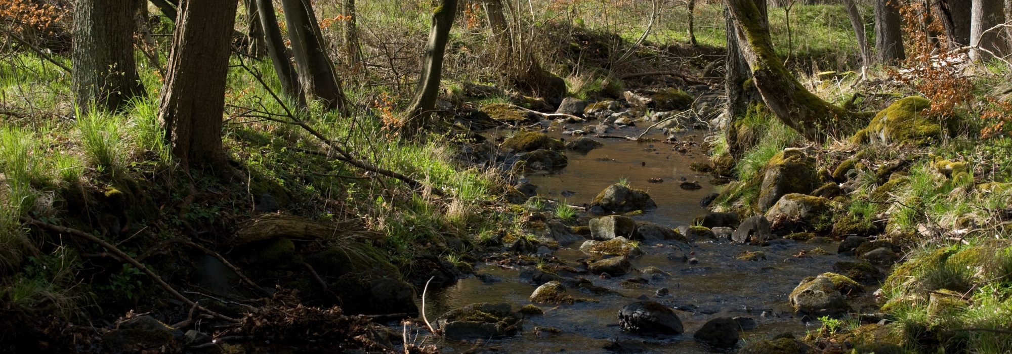
A leaky dam otherwise known as large woody debris dam or leaky barrier: just one of a range of measures used by Natural Flood Management (NFM)
Recommendations:
- Local community engagement is a crucial component to the success of this kind of project.
- Projects like this benefit hugely from initial stakeholder and community consultations to validate hydrological models.
- Leaky dams need to be created in a range of sizes to perform different functions: storing water, spreading water across the landscape, holding sediment and slowing the flow of water.
- Ecology surveys are useful to indicate sensitive areas, especially with sites of special scientific interest (SSSIs).
For more information about this project please read the full report or contact Stephen Haywood.
Email: Stephen.Haywood@thames21.org.uk