Beatty Road

There is potential to install a flood basin or wetlands in the green space at Beatty Road and a public consultation has now been completed. The results of the consultation will be available on the Beatty Road Sustainable Drainage Scheme MyHarrow Talkwebpage on 30 April 2025.

The link to the webpage is here: https://talk.harrow.gov.uk/beattyroad-suds.

The aim of the project is to reduce the risk of flooding to properties and infrastructure in the area by building a flood storage basin on the green in Beatty Road to store surface water runoff during heavy rain.

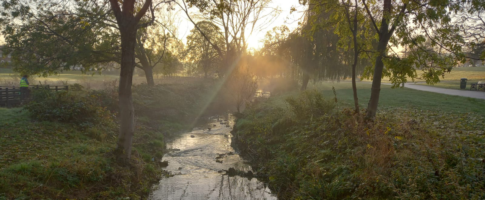
Where is Beatty Road?

Beatty Road is located just south of Stanmore and contains a small open green space. Click here for link to Google Maps. 

What phase is Beatty Road in the Co-Design process?

Consultation: The site is at design stage and includes deculverting a short section to create some flood storage and improving biodiversity and additional permeable parking bays. Beatty Road residents will play an important part in the shaping of this plan.

Be up to date

Subscribe

* indicates required

Please select all the ways you would like to hear from :

You can unsubscribe at any time by clicking the link in the footer of our emails. For information about our privacy practices, please visit our website.

We use Mailchimp as our marketing platform. By clicking below to subscribe, you acknowledge that your information will be transferred to Mailchimp for processing. Learn more about Mailchimp’s privacy practices here.