South Chilterns Catchment Partnership
South Chilterns Catchment Partnership
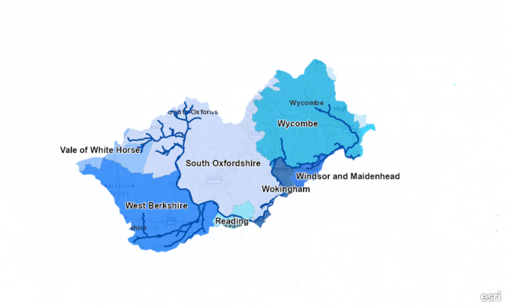
The South Chilterns Catchment is the southern half of the Thame and South Chilterns catchments, that in turn forms part of the Thames River Basin District.
The catchment includes parts of both the Chilterns and the North Wessex Downs National Landscapes, with the boundary between the two areas marked by the River Thames. The catchment is split into three distinct geographical areas:
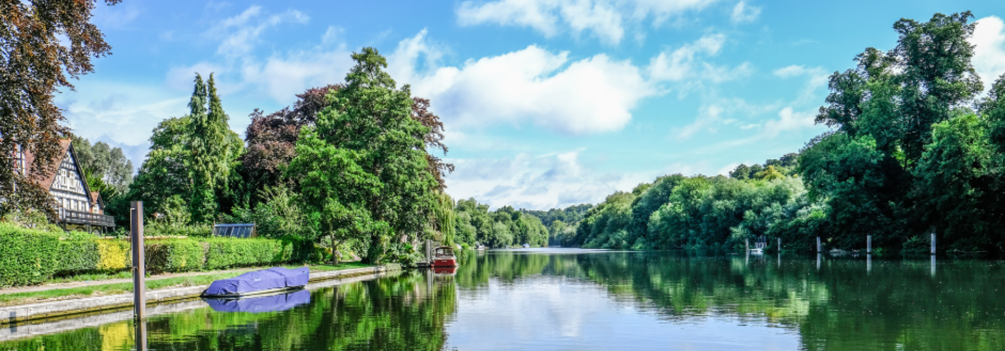
- River Pang – In the west of the catchment is the River Pang, a chalk stream rising in a rural area flowing through West Berkshire to enter the River Thames at Pangbourne.
- River Thames – The navigable River Thames flowing through the middle of the catchment between Wallingford and Cookham.
- River Wye – In the east is the River Wye, an urban chalk stream rising near High Wycombe and entering the Thames at Bourne End.
The South Chilterns Catchment Partnership webpage displays catchment action plans for the three geographical areas. Each catchment plan is a working document for the catchment partnership, that sets out our wide range of objectives to improve the river for wildlife and local communities.
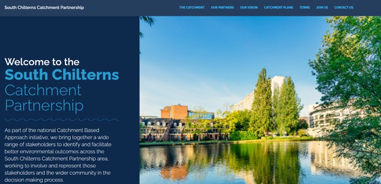
Click here to see the new South Chilterns Catchment Partnership webpage
Click here to read the Terms of Reference of the South Chilterns Catchment Partnership
Contact us
Do you have questions or project ideas? Get in touch with us.
The South Chilterns Catchment Partnership is hosted by Thames21, Action for the River Kennet and Chilterns Chalk Streams Project.
- For the River Thames between Wallingford and Cookham, contact Sarah Thornley, Sarah.Thornley@Thames21.org.uk.
- For the River Pang, the Sulham Brook, Mill Brook, Bradfords Brook system, Cholsey Brook and tributaries contact Charlotte Hitchmough, charlotte@riverkennet.org.
- For the South Chilterns Chalk Streams (Wye, Hughenden, Hamble Brook, Ewelme Brook, Berrick & Lady Brook) contact Allen Beechey, abeechey@chilternsaonb.org.